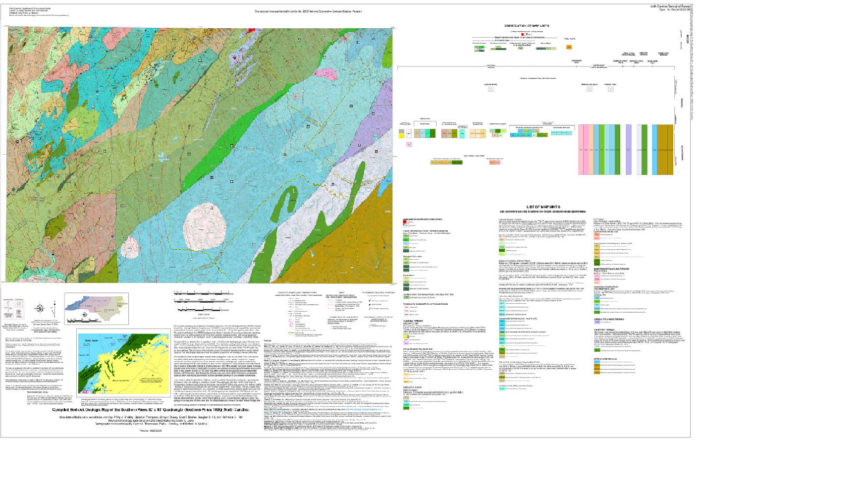  
The geologic map for the Southern Pines 100k quadrangle has been created as a general-purpose map that is applicable to land-related investigations in the earth, environmental and biological sciences. Includes an index to terranes, a list of schematic distribution of terranes and map units, correlation of map units and rock unit descriptions. This map covers portions of Moore, Montgomery, Richmond, Lee, Hoke, Cumberland, Anson, Harnett and Scotland Counties.
New data collection and compilation work by: Philip J. Bradley, Garett J. Thompson, Qingxin Zhang, Ezra T. Becker, Douglas B. Hill, and Katherine E. Pelt. New geochronology data reduction and interpretation by Adam C. Curry. 2025. Approximate scale - 1:100,000. Approximate size - 42" x 65".
|